New toll rules explained: GNSS and how do OBUs work in vehicles?
As per the notification, under GNSS, vehicles, barring those with National Permits, will travel toll-free up to the first 20 kilometres in each direction in a day

The Ministry of Road Transport and Highways (MoRTH) has announced the Global Navigation Satellite System (GNSS) to provide seamless and barrier-free tolling experience on National Highways (NHs).
On Tuesday (September 10), MoRTH amended the National Highways Fee (Determination of Rates and Collection) Rules, 2008.
As per the notification, under GNSS, vehicles, barring those with National Permits, will travel toll-free up to the first 20 kilometres in each direction in a day.
“A driver, owner or person in-charge of a mechanical vehicle other than National Permit Vehicle who makes use of the same section of national highway, permanent bridge, bypass of tunnel, as the case may be, shall be levied a zero-user fee up to twenty kilometres of journey in each direction in a day under Global Navigation Satellite System based user fee collection system and if the distances travelled is more than twenty kilometres, the fee will be charge for actual distance travelled,” the notification from the ministry said.
What is GNSS?
Global Navigation Satellite System or GNSS based tolling is a barrier-free method of Electronic Toll Collection (ETC) wherein the road users are charged on the distance they have travelled on the tolled highway stretch.
As per the ministry of road transport, the National High Authority of India (NHAI) plans to implement the GNSS-based Electronic Toll Collection system within the existing FASTag ecosystem, initially using a hybrid model where both RFID-based ETC and GNSS-based ETC will operate simultaneously.
Dedicated GNSS lanes
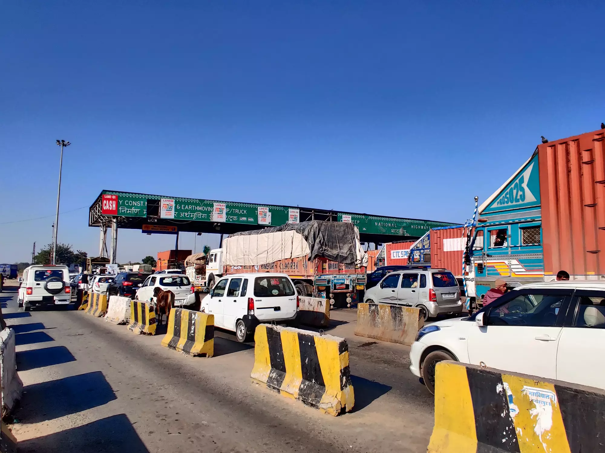
Dedicated GNSS lanes will be available at toll plazas, allowing vehicles using the GNSS-based ETC to pass through freely. As GNSS based ETC becomes more widespread, all lanes will eventually be converted to GNSS lanes, the government said.
“Implementation of GNSS based Electronic Toll Collection in India will facilitate smooth movement of vehicles along the National Highways and is envisaged to provide many benefits to highway users such as barrier less free-flow tolling leading to hassle-free riding experience and distance-based tolling. The GNSS based Electronic Toll Collection will also help to plug leakages and check toll evaders resulting in more efficient toll collection system across the country,” the ministry said.
What are On-Board Units (OBU) and how do they work?
To use GNSS, all vehicles need to be fitted with On-Board Units (OBUs). An OBU is an electronic device that will collect driving data and connect with the satellite navigation systems and helps in automated billing of tolls based on the distance travelled by a vehicle.
According to PTOLEMUS Consulting Group, which is focused on connected mobility, automation and transportation, “OBUs employ various methods to communicate with tolling system and assess the distance travelled, and subsequently, the toll amount due. The two most common methods used are with radio and mobile radio technologies and satellite navigation.”
“In the case of radio technology, a radio beacon transmits a signal which is received by the OBU. That signal is then modulated by the OBU and the data sent back to the beacon. The stationary position of the beacon allows it to determine the distance travelled.
“When using satellite navigation in tolling, the OBUs have a GPS receiver which receives the navigation signal. The data is then sent by SMS from the OBU via a GSM modem to the toll centre. The toll is then calculated using this navigation data,” it explained.
Pilot study of GNSS
A pilot study about GNSS has been done on two highway stretches – Bengaluru-Mysore section of NH-275 in Karnataka and Panipat-Hisar section of NH-709 (old NH-71A) in Haryana.
What Nitin Gadkari said on GNSS
In June, Indian Highways Management Company Limited (IHMCL), a company promoted by NHAI organised a day-long international workshop in New Delhi on ‘Global Navigation Satellite System (GNSS) based Electronic Toll Collection in India’.
The international workshop provided a unique platform to both industry and global experts to deliberate various aspects related to smooth implementation of the free-flow tolling system based on GNSS technology in India.
At the workshop, Union Minister for Road Transport and Highways Nitin Gadkari said, “GNSS technology enhances navigation and positioning, playing a crucial role in modernizing toll collection systems, ensuring seamless travel, and reducing congestion on our roads. We are continuously working towards easing citizens' lives, making governance more transparent, and providing faster services.”

