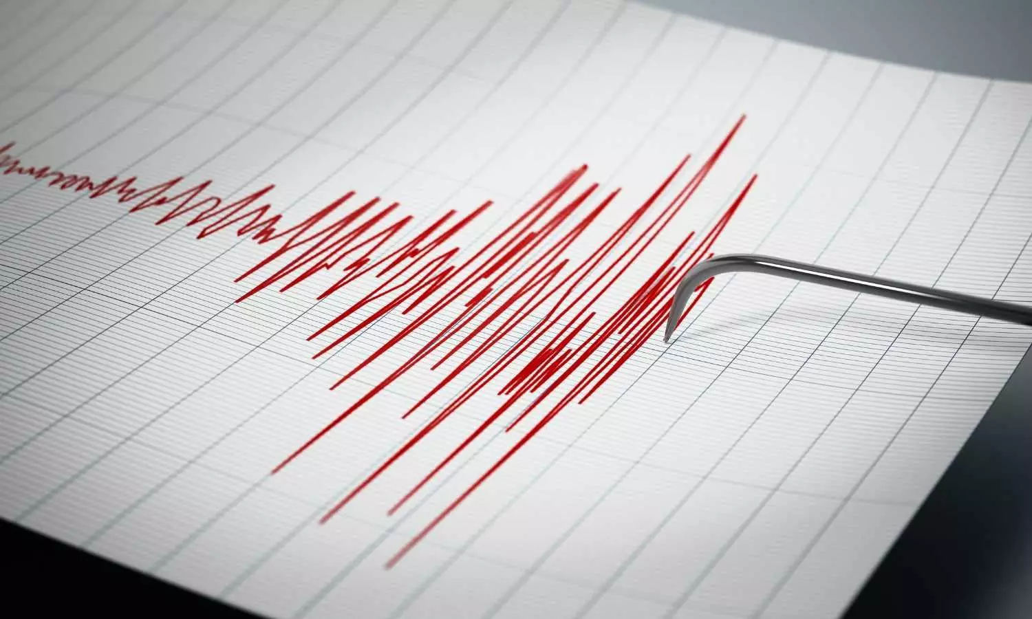
7.3 magnitude quake hits Alaska Peninsula, tsunami warning issued briefly
The powerful tremor on July 16 briefly prompted evacuations for southern coastal areas; no significant damage or injuries reported

A powerful earthquake of 7.3 magnitude struck the Alaska Peninsula on the afternoon of July 16, briefly prompting a tsunami warning for the state’s southern coastline. Residents in coastal communities were urged to evacuate inland to higher ground.
The United States Geological Survey (USGS) reported the tremor occurred at 12:37 PM local time, southeast of Sand Point on Popof Island, part of the Aleutian Chain, at the heart of the Alaska Peninsula.
According to the Alaska Earthquake Center, the quake was “felt throughout the Alaska Peninsula and southern Alaska.”
Also Read: Earthquake tremors felt in Delhi, Gurugram, other places in NCR
Strong tremors felt
The USGS reportedly noted that the earthquake south of Sand Point occured due to “thrust faulting on or near the subduction zone interface between the Pacific and North America plates.”
Footage captured by a local resident and shared by the Alaska Earthquake Center documented the strong tremors shaking the area.
"We got this incredible footage of today's earthquake from a resident in Sand Point, about 50 miles from the epicenter. We are grateful to those who shared their experiences -- it allows others to understand what an earthquake is like, and be better prepared.
We are also grateful that we have not heard of anyone injured from this fairly large earthquake for Alaska," the earthquake centre wrote on X.
Also Read: Japan: Series of earthquakes rocks Tokara Island amid comic book prediction fear
Quake aftershocks
According to Michigan Technological University, an earthquake capable of causing serious damage typically falls between magnitude 7.0 and 7.9. So far, about 10 to 15 earthquakes of this magnitude have been reported each year.
The Alaska Earthquake Center confirmed the quake’s magnitude as 7.3, with its epicentre roughly 55 miles south of Sand Point, at a depth of approximately 9 miles. The centre also noted that magnitude and location data may be revised slightly as more information is processed.
Subsequently, the USGS recorded several aftershocks near Sand Point, including a magnitude 5.3 tremor approximately 101 km south-southeast of Sand Point.
Tsunami warning
Following the earthquake, the National Tsunami Warning Center issued a tsunami warning covering the area from Unimak Pass to Kennedy Entrance.
By 1:50 PM (local time), the warning was downgraded to a tsunami advisory, which remained in effect for the coastal stretch from Kennedy Entrance (about 40 miles southwest of Homer) to Unimak Pass — a distance of about 700 miles.
By 2:43 PM, the advisory was lifted for all coastal regions. "Tsunami cancellations indicate the end of the damaging tsunami threat," the National Tsunami Warning Center said in an update.
Also Read: 4.8 magnitude earthquake strikes Nepal
Alaska’s seismic profile
Alaska is the most seismically active state in the United States, a result of its position along the Pacific Ring of Fire—a major area of tectonic activity.
The region has witnessed some of the most powerful earthquakes in recorded history, including the 1964 Great Alaska Earthquake, which registered a magnitude of 9.2.
It remains the strongest earthquake in North American history and the second largest ever recorded worldwide.

